
Hiking UK Presents:-
The Lakes Gallery.
Please click on the link to download the Picture onto your screen.
To save the Picture, right click, then choose 'save picture as'- and save to your own folder..
Please e-mail the author before using any photo in a website or publication.
Lake District
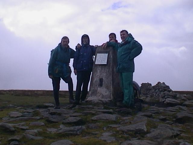
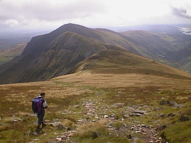
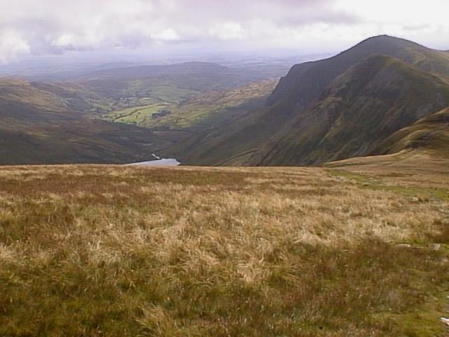
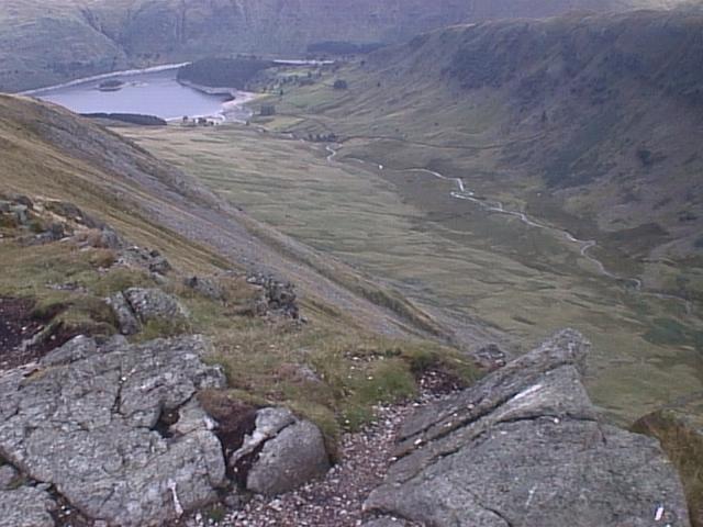
High Street
| The 4 of us at the trig point having a well earned rest. | |
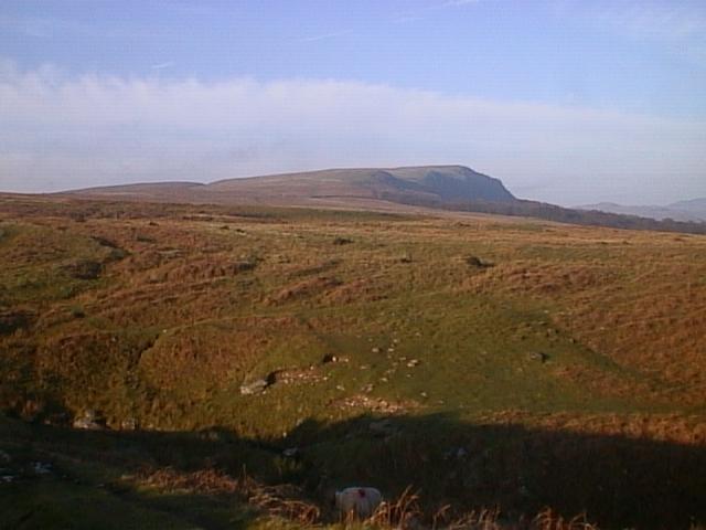
| Park Fell overlooks Kentmere Common and joins High St. with Froswick. | |
| The view from the above spot. | |
| A break on Kidsty Pike looking across to Harter Fell. | |
| Same break, different photo! | |
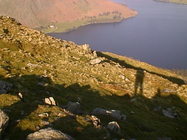
| Riggindale Crag from High Street. | Approach route along the crag from Haweswater. |
| Ullswater | |
| At the start of the walk, around 0700hrs, good start to the day. | |
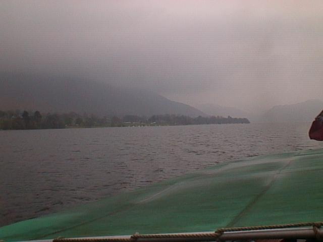
| Arthurs Pike from Ullswater. | Taken at 1415 from the Ferry, and yes, it`s raining! |
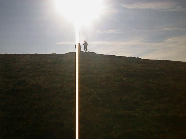
| The Sun Shines From-----! | As I turned from taking another pic, this opportunity was too good to miss! |
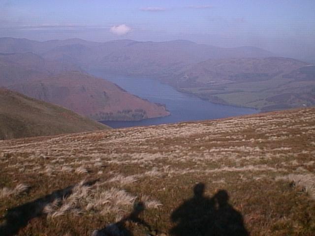
| Ullswater and The Dodds. | From Bonscale Pike looking towards Glennridding, that 's heat haze not mist! |
| Howtown Wyke from Bonscale Pike. | Looking down on Howtown. Gives you some idea of the hight we were. |
| A Red Squirrel at Howtown. | A rare sight! we were priveledged to see 3 on this walk |
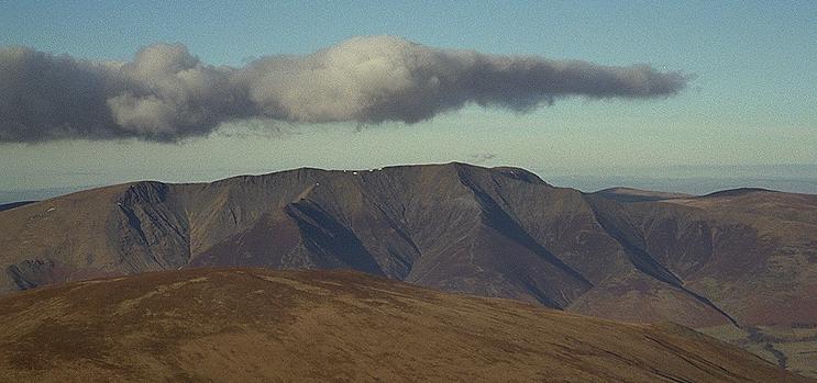
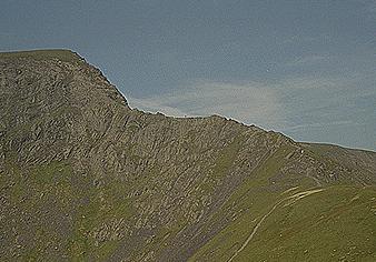
| Blencathra and Sharp Edge | |
| This, is what Blencathra should look like! | Not my Photo! but it needed to be shown! |
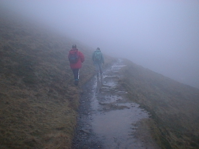
| This, is what it did look like! Low cloud and rain! | Couldn't see a thing! the mist was thick and wet, but we hoped for the best. |
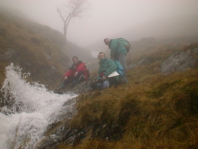
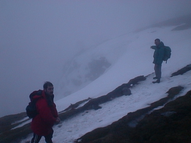
| A well earned rest on the way up to Sharp Edge. | The torrent of water shows how much rain we had! |
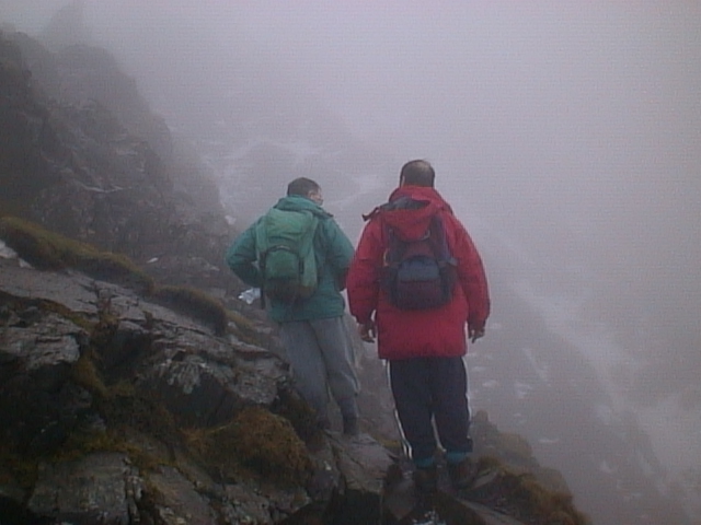
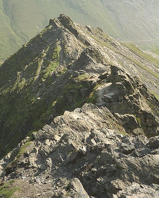
| The start of Sharp Edge | Hard to see the way to take. |
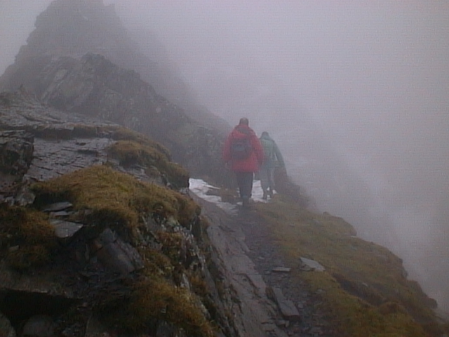
| Should we? or shouldnt we? | We had to make a decision here, we saw a snow gully we could use to reach the top! |
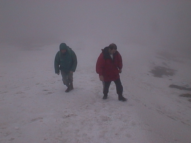
| Bill and Gary on snow ridge on Blencathra Summit. | Snow ridge ran the whole length of Blencathra. |
| There is a 900 ft drop under that! | A snow overhang looking very dangerous. |
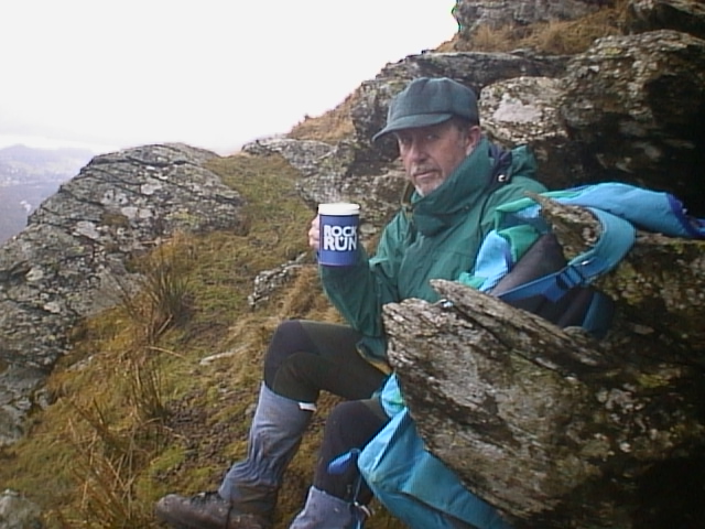
| A free mug from Rock n Run ( I won it! ) Hot coffee on the flanks of Saddleback. | Well earned rest after a heart stopping walk in bad visabilty and weather. |
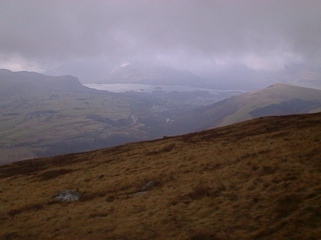
| It did clear on the way down, This is Keswick and Derwent Water. | At last we had some views to look at. |
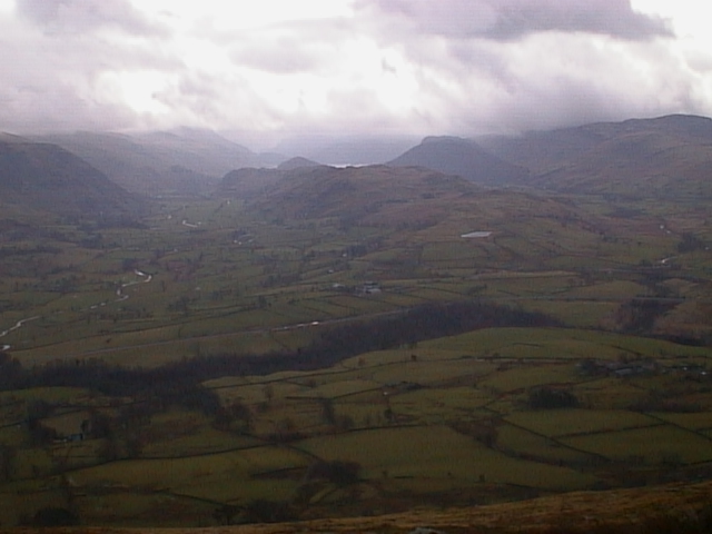
| And looking over to Gt Dodd and Thirlmere. | This was another view. |
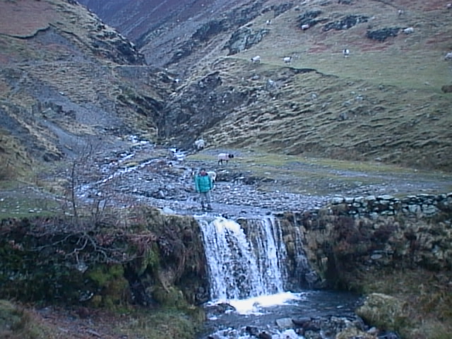
| On the path back to Scales-our start point, at the base of Doddick Fell. | Nice waterfall, and right on the path too! |
| The aproach to Sharp Edge--- This is what it should look like! | Again, not my photo's. Sorry, but I cant remember where I got them, but I will put a link on when I can! |
| --and on Sharp Edge. | Ditto |
And, not very far from the Lakes!
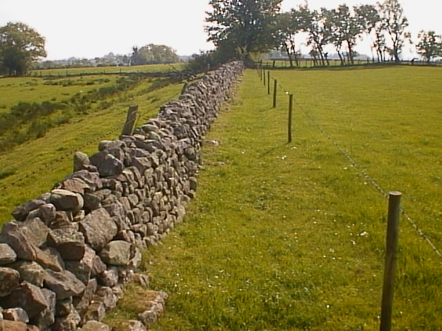
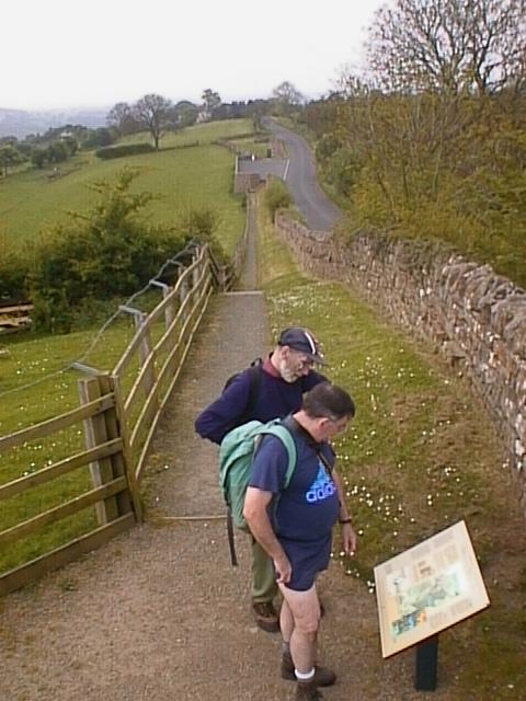
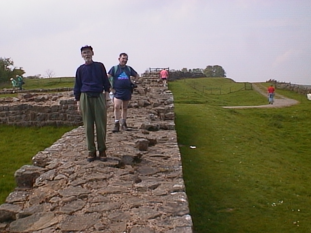
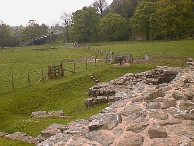
Hadrians Wall, from Brampton to Haltwhistle.
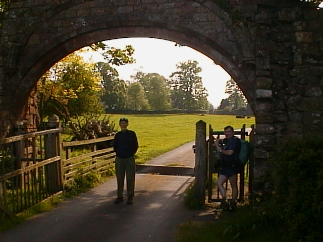
| A famous landmark to start the day. | |
| Our first view of 'The Wall' | |
| One of the re-constructed Beacons. | |
| Excelent spot this! especially the coffee shop! | |
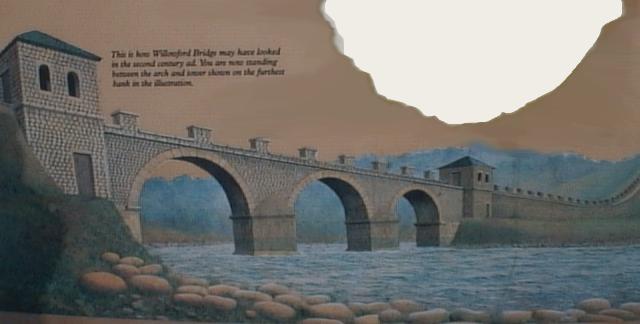
| Interesting spot on the river, showing the skill of the bridge builders. | |
| This is what the bridge looked like in Roman Times. (How do they know that?) | |
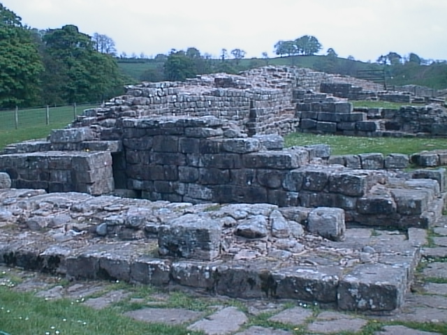
| Whats left of the original. | |
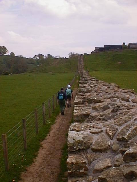
| Good views as the aspect opens up. | |
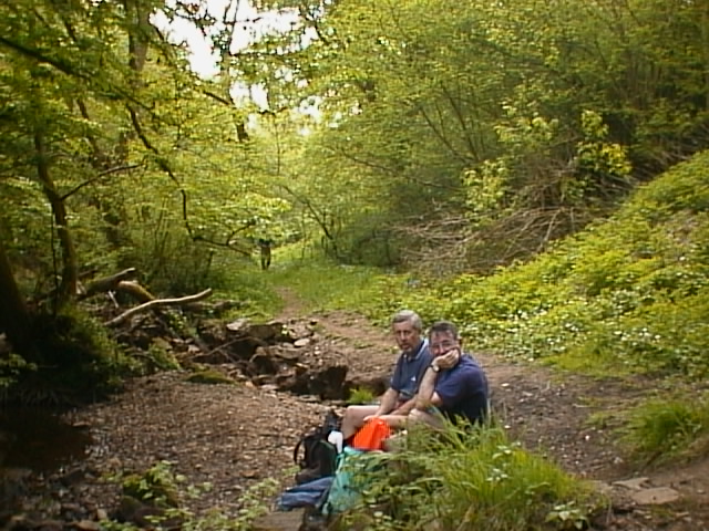
| A well earned stop for grub! I And in a nice valley to! | |
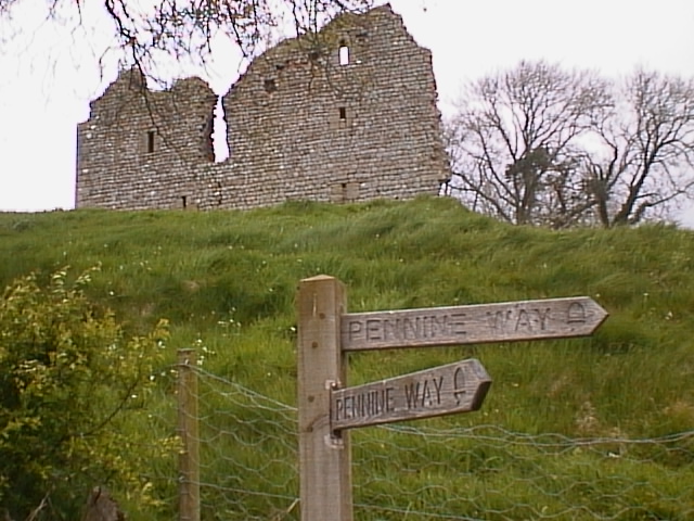
| Pity the ruins are closed, but they look as though they are about to fall down! | |
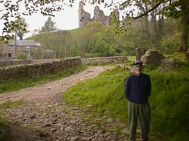
| My walking buddy, Eric Carter, posing in front of the castle. | |
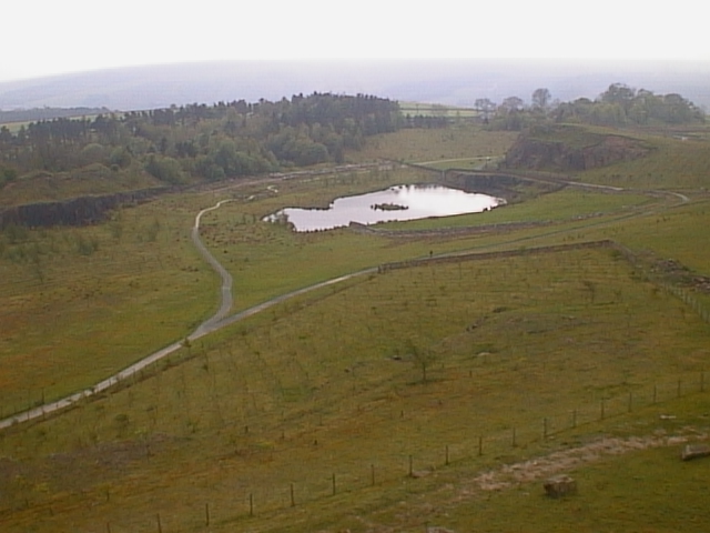
| Fantastic visitor center, showing how the stone for the wall was quarried. | |
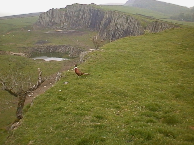
| A Pheasant walking The Wall! | But it didn't walk all the way with us! |